
A billion, every year.
This is Thomas, asset manager at a railway. Every year he decides what gets renewed, a billion dollars' worth. For that he needs one thing: the condition of his network. That's what we deliver, as Aerial Data as a Service.
Fast, precise or current.
Until now, Thomas had to choose.
the foot patrol
Thorough, but outdated.
By the time the last kilometre is walked, the first one is old again.
the helicopter
Fast, but coarse.
It covers the line in a day. It just doesn't see a centimetre while doing it.
the drone
Precise, but not for long.
It has to land before you finish your coffee. A corridor means swapping batteries, again and again.
TENEO|E
All three.
One flight, the full picture. Fast, because one flight captures the whole line, twelve hours at a stretch. Precise, because a UHD camera and LiDAR are on board. Current, because every flight takes the same path and is compared with the last.
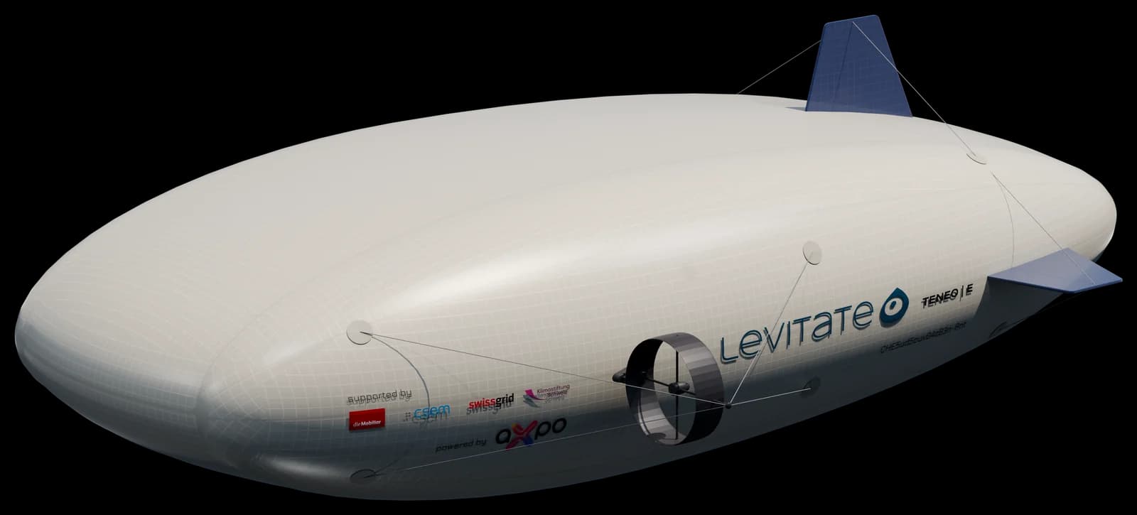
TENEO|E · 5 m · lifting gas + aerodynamics · 12 h
Market
Thomas isn't alone.
Power, rail, pipelines and roads across Germany, Austria, Switzerland and France: almost 25 times around the Earth. All of it needs inspecting at a regular cadence. That's our entry market. And the same flight has buyers well beyond inspection.
- 935,000 kmlinear infrastructure, DE AT CH FR
- ~USD 700 mentry market per year
levitate market intelligence 2026, bottom-up from operator data
Model
We sell the dataset.
As a service
The aircraft stays with us. The customer gets data, captured and pre-processed, ready for analysis.
Price per kilometre
One price per kilometre, all-in. No equipment, no setup, one invoice.
Hub
One hub serves lines within 150 km, for several customers, at fixed intervals.
Comparable
The same line, the same capture, at fixed intervals. From the second flight on, the difference shows.
Traction
From prototype to pilot customer.
Pre-series in build
Two years of development with several prototypes. The predecessor ELP6 validated the physics and the flight concept. TENEO|E's hull is built, the electronics have arrived, the carbon parts are in production. Maiden flight in September 2026, a year after ELP6.
Three pilot projects
Axpo (energy), BLS (rail) and Geoformer (geospatial): three pilot projects for 2026. Further operators have approached us unprompted. On top of that, we're in talks with two grid operators in Germany and an infrastructure operator in France.
Partners on board
An R&D partnership with CSEM on solar integration, backed by Innosuisse. We've passed an investor pool's due diligence and secured non-dilutive funding.
Team
Three founders, three domains.

Andi Zaugg · CEO
An entrepreneur with 30 years in software, UAV and AI, 20 of them in leadership. Full-time on levitate since 2024.

Adrien Barbot · CTO
Aerospace engineer and entrepreneur. He co-built the avionics for the Airbus A380, A400M and A350 and knows EASA certification first-hand. He joins us in November 2026.

Gabriela Odermatt-Feuz · CRO
She ran a Swiss SME with 130 staff and has an eye for compliance and lean operations. Our voice and our network.
Tomorrow
Beyond inspection.
The same flight along the railway also sees forest, river, power line and village. One flight, paid for once and used many times over. AI that acts in the world needs current, repeated, georeferenced captures of the real world. That's exactly what we create on the side, with every flight. Read the vision
Investor access
Ask for the deck.
The deck with the numbers and the data room are open once we know who's asking. You'll hear from one of us, not from a form.
Let's talk about the round.
We're raising. The next step is a conversation, not a form.
Andi, Adrien and Gabi make time for your questions.